PHYSICAL GEOGRAPHY OF MANITOBA
|
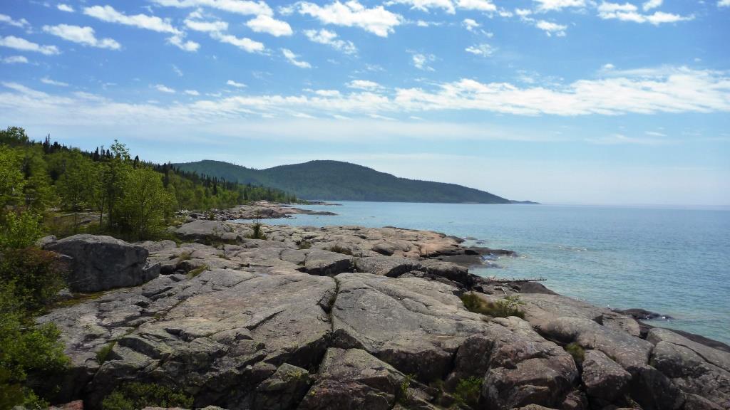
Topography
|

Lake Winnipegnosis
|
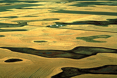
 Flatland farming
- Hudson Bay Lowland, Precambrian Upland, Lake Agassiz Lowland & Western Upland
- Three large lakes: Winnipeg,winnipegosis and Manitoba, cover much of the Lake Agassiz Lowland- flatland
- The Assiniboine, Valley and Swan rivers carved the southwestern part of the province (Western Upland) into low plateaus
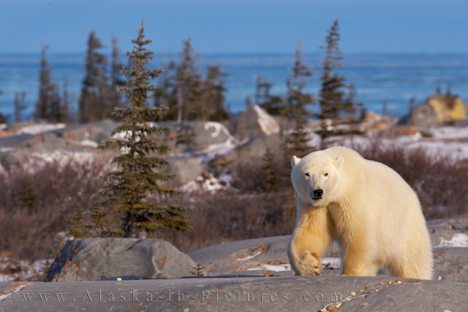
- The Precambrian Upland is composed of hard granite and other crystalline rocks (unsuitable for agriculture but suitable for forestry, hydroelectric power)
- Flat sedimentary rocks underlie the Hudson Bay Lowland, and the climate is extremely cold.
Physical Region
Manitoba is included in both the Canadian Shield Region (N) and the Interior Plains region (S). N: Weathering and erosion worn the land down to a flat landscape with bare rock, lakes and wetlands. (Thompson: mineral industry); S: The Manitoba Plain occupies the low-lying trough once filled by Lake Agassiz, a prehistoric glacial lake. The remnants of this vast body of water today are the largest lakes in Manitoba—Lake Winnipeg, Lake Winnipegosis and Lake Manitoba.
Manitoba is included in both the Canadian Shield Region (N) and the Interior Plains region (S). N: Weathering and erosion worn the land down to a flat landscape with bare rock, lakes and wetlands. (Thompson: mineral industry); S: The Manitoba Plain occupies the low-lying trough once filled by Lake Agassiz, a prehistoric glacial lake. The remnants of this vast body of water today are the largest lakes in Manitoba—Lake Winnipeg, Lake Winnipegosis and Lake Manitoba.


Climate Region
Manitoba belongs to a continental climate zone (extreme temperature change)
Avg temp: summer 19 celsius; winter -20 celsius; spring- 3 celsius; fall- 4 celsius
Avg precipitation: 504.6mm
Capital City Climograph
Manitoba belongs to a continental climate zone (extreme temperature change)
Avg temp: summer 19 celsius; winter -20 celsius; spring- 3 celsius; fall- 4 celsius
Avg precipitation: 504.6mm
Capital City Climograph
- Precipitation: low precipitation, dry; Temperature below freezing point during winter
- Ocean current: Doesn’t have significant impact to the province
- Wind: Wind is used extensively as Manitoba’s hydroelectric resource
- Distance from sea: far away from ocean; continental climate (little maritime influence)
- Altitude: low altitude- mainly flat lands
- Latitude: Above the equator; cold
 Coniferous forest
Biome Region
Most part of Manitoba is included in the coniferous forest region while open woodland occupies its northern tip and parkland occupies its southern tip.
Current Issue
While other parts of Canada are threatened by polluted water, Manitoba’s water resource remains safe to drink due the strict maintenance of quality by the Manitoba government.
